

Plans & Studies
-
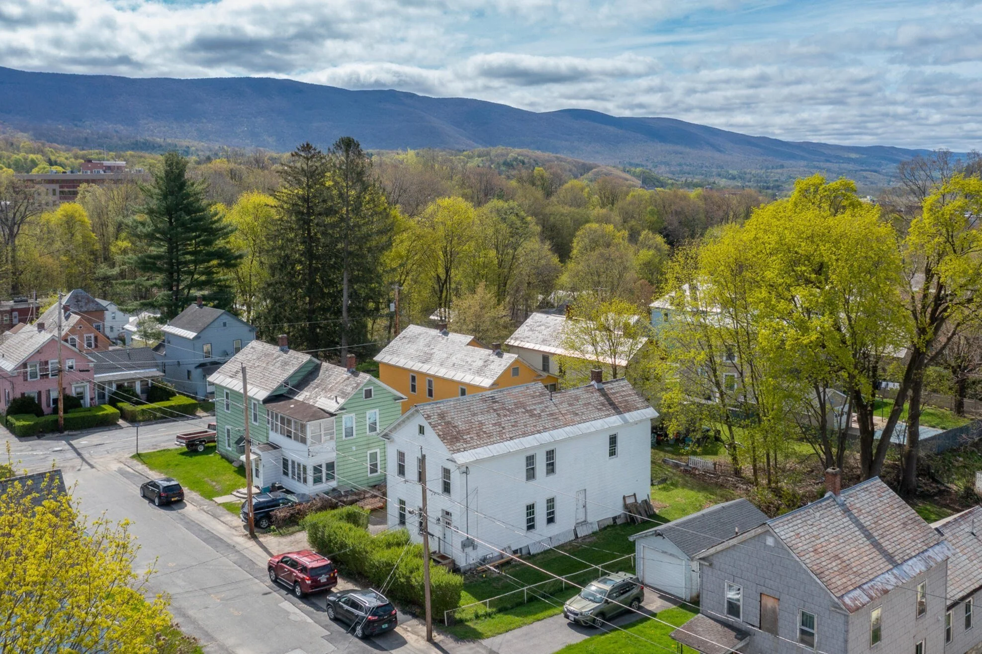
North Adams Vision 2030 Plan
The North Adams Vision 2030 comprehensive plan guides the work of municipal departments and focuses on community needs by a charting a course across multiple policy areas, including economic development, housing, infrastructure, and open space and recreation.
-
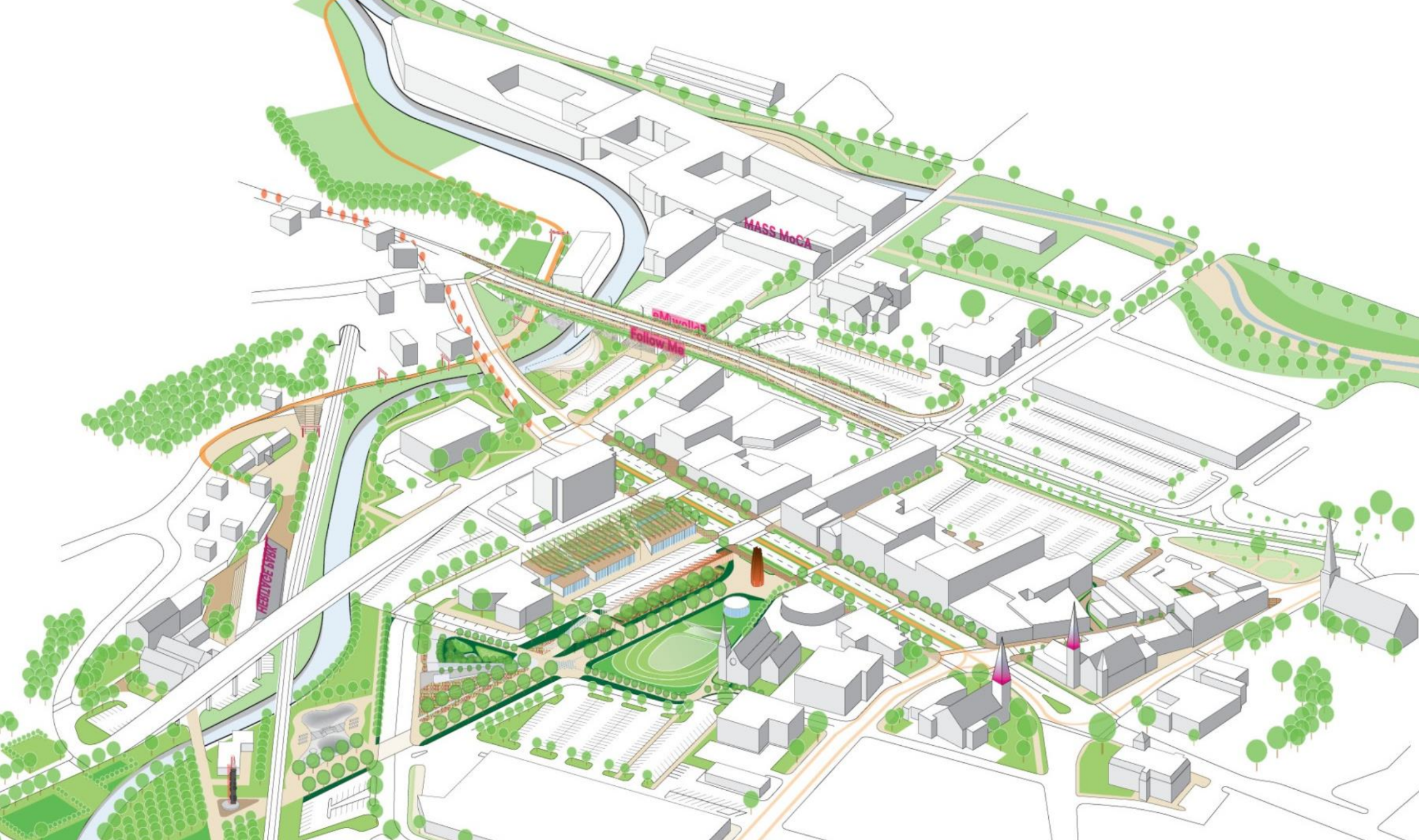
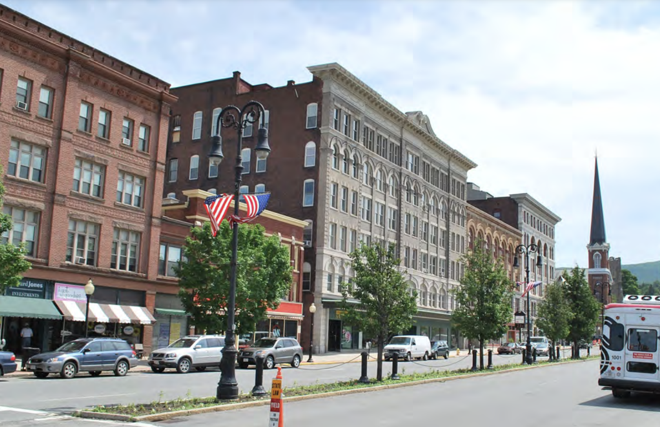
2013 Master Plan
A 2013 study commissioned by the North Adams Partnership to envision a greener, more connected, walkable, and bikeable downtown North Adams.
-
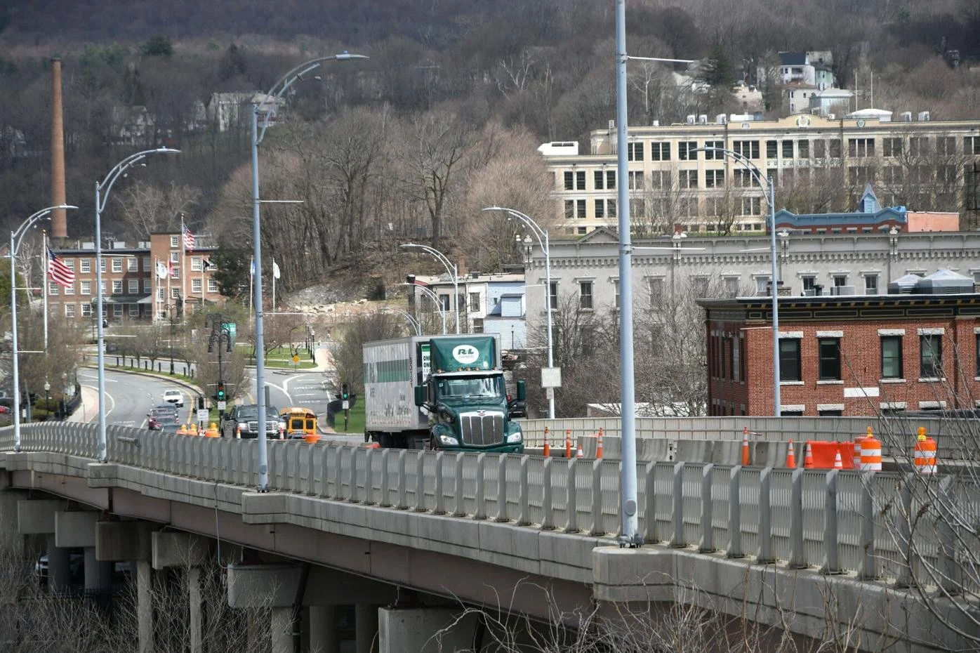
Route 2 Overpass Study
The Route 2 Overpass Study will consider past planning efforts, analyze the flow of cars and people in and around downtown North Adams, and explore transformative alternatives to the overpass that support connectivity, mobility, and downtown revitalization.
-

A Home For Everyone
A comprehensive housing plan for Massachusetts, developed by the Executive Office of Housing and Livable Communities.
-
Berkshire County Regional Housing Strategy
This report provides a set of immediate and long term strategies to address housing that meets the needs of all Berkshire residents.
-
Housing Needs Assessment
Detailed information on the state of existing housing stock and clarifies the need for senior, accessible, and affordable housing in North Adams.
-
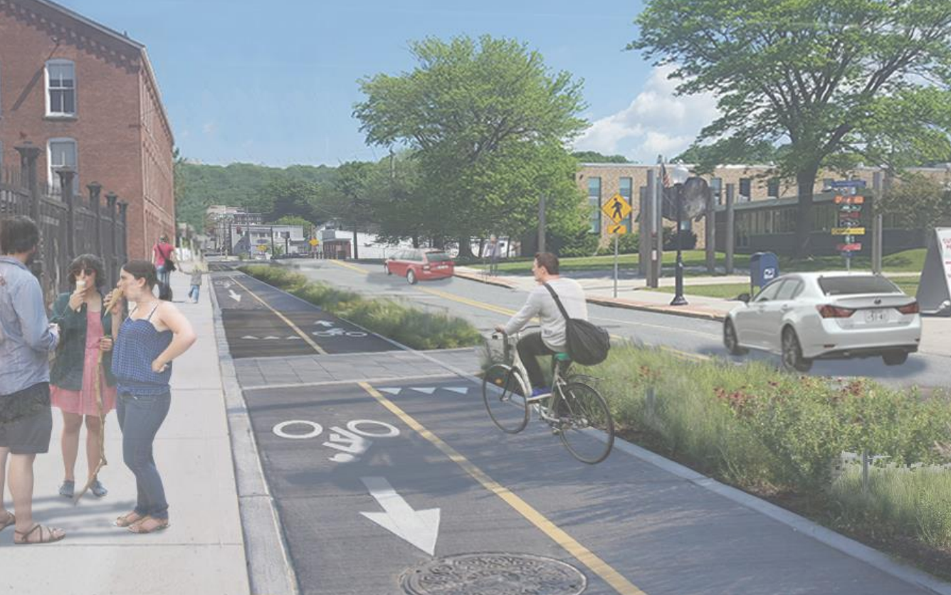
Bike & Pedestrian Plan
Published in 2021 and led by the Berkshire Regional Planning Commission and the City of North Adams, this plan advances efforts and recommends a path forward to greatly enhance both the walkability and bikability of the city’s downtown core.
-
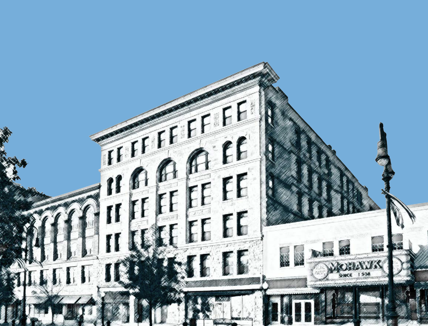
Downtown Cultural District Plan
Downtown strategic plan that aims to suggest improvements to transform Downtown North Adams into a vibrant cultural district for residents and visitors.
-

Downtown Parking Study
The Downtown North Adams Parking Study, presented in March 2020, supports ongoing planning efforts by addressing access in Downtown.